
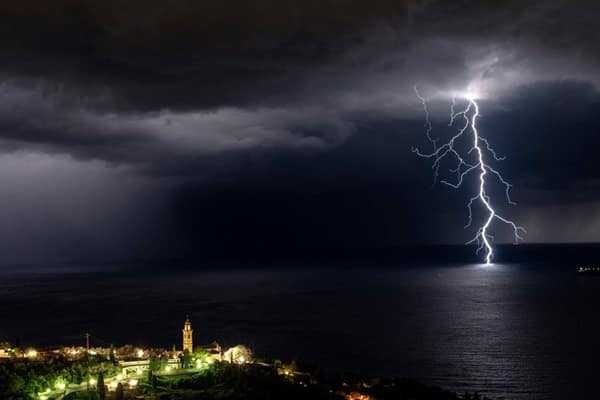
Britain is facing a day of torrential rain, lightning and large hail, with the Met Office issuing a yellow thunderstorm warning covering eight regions across England and Wales.
The warning will run from 3am on Wednesday until 10pm, with forecasters warning that some areas could see 20-30mm of rain in less than an hour and as much as 40-50mm within two to three hours.
The Met Office said: “A band of heavy showers and thunderstorms is expected to move northwards on Wednesday morning.”
“A drier, brighter interlude may follow, but with a chance of further showers and thunderstorms breaking out during the afternoon.”
While many areas will escape the worst conditions, storms that do develop could be intense, bringing flash flooding, frequent lightning and large hail.
The warning covers the East Midlands, east of England, London and south-east England, north-west England, south-west England, Wales, the West Midlands and Yorkshire & Humber.
The Met Office warned there was a small chance that homes and businesses could be flooded rapidly, while buildings could be damaged by floodwater, lightning strikes or hail.
The storms could also cause widespread disruption, with flooding and lightning potentially triggering delays and cancellations to rail and bus services.
Drivers have been warned that sudden flooding and heavy spray could create dangerous conditions and lead to road closures, while power cuts are also possible.
The Met Office urged people in areas vulnerable to flash flooding to prepare a flood plan and emergency kit, while travellers were advised to check road and public transport conditions before setting out.
Those caught outside during a storm should seek enclosed shelter, such as a car, and avoid trees and exposed structures.
The weather is expected to become calmer on Thursday, before another spell of unsettled conditions arrives over the Bank Holiday weekend.


Leave a Comment