
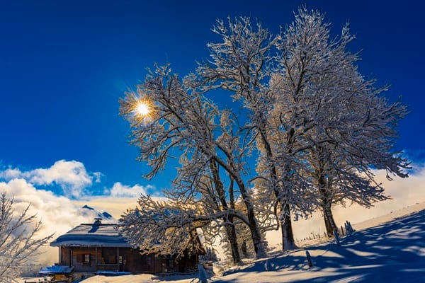
Britain is facing a sharp early-winter cold snap next week, with weather models forecasting temperatures as low as -3C in Scotland and freezing conditions spreading across parts of northern England and Wales.
The latest Global Forecast System (GFS) projections suggest an Arctic air mass could sweep south from Scotland between November 11 and 13, bringing a three-day spell of unusually cold weather to 24 counties across the UK.
Temperature anomaly charts have turned deep blue, indicating readings significantly below seasonal averages for mid-November.
Even London could struggle to reach more than 4C during the coldest part of the outbreak, while East Anglia is expected to remain relatively sheltered, with temperatures around 6C.
The Met Office has also warned of a shift towards colder conditions during the second half of next week, although it stressed that the precise scale and timing of the change remain uncertain.
Its forecast covering November 9 to 18 states: “Toward the end of next week we may start to see some colder conditions spread from the north to much of, if not all of the UK.
“But while the nature of this colder outbreak is very uncertain, it could bring some wintry showers to the northern UK briefly, with the south trending drier once again.”
The agency said southern parts of the country were more likely to experience milder, wetter conditions, while northern areas could remain comparatively dry before the colder air arrives.
Forecast maps suggest northern Scotland could be the first region to experience freezing temperatures, with readings falling to -3C by the evening of November 11.
The following day, the cold is expected to spread further south. Southern Scotland and parts of Wales could see temperatures of -1C, while the North Pennines are forecast to reach -2C.
Conditions could remain bitter on November 13, when the North Pennines are again projected to experience temperatures around -1C. London could see readings of just 4C by early evening, while the Midlands and South Wales may struggle to rise above 2C to 3C.
Some model projections are even colder, suggesting temperatures around Inverness and Manchester could fall to -4C on November 13.
The 24 counties identified in the current projections include 16 in Scotland: Ross-shire and Cromartyshire, Inverness-shire, Banffshire, Argyllshire, Perthshire, Aberdeenshire, Stirlingshire, Dunbarton, Lanarkshire, West Lothian, Midlothian, Ayrshire, Dumfriesshire, Peeblesshire, Selkirkshire and Roxburghshire.
In England, Cumbria, Northumberland, Lancashire and Herefordshire are among the areas forecast to experience sub-zero readings. Denbighshire, Merioneth, Montgomeryshire and Radnorshire complete the list in Wales.
The latest projections suggest the cold spell could persist beyond November 13. According to The Mirror, some forecasts indicate freezing conditions could continue until November 16, potentially expanding the number of affected areas to 41 as colder air pushes deeper into England and Wales.
Meteorologists have linked the potential outbreak to disruption of the polar vortex, the large circulation of cold air normally concentrated around the Arctic. When this system weakens, colder air can move southwards into Europe and North America.
El Niño has also been cited in discussions about wider changes to global weather patterns, although the precise relationship between these developments and Britain’s expected cold spell remains uncertain.
Sudden stratospheric warming can contribute to a weakening or reversal of high-altitude winds, sometimes allowing Arctic air to spill towards lower latitudes and prolonging cold conditions.
Despite the prospect of freezing temperatures, current projections do not point to significant snowfall in the coming weeks. Forecasters caution that longer-range models can change considerably, meaning the extent and duration of the cold snap remain far from certain.


Leave a Comment