
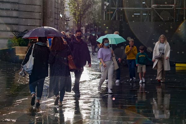
Households across parts of England and Wales are being urged to prepare for flash flooding, power cuts and severe thunderstorms as the Met Office issues multiple yellow weather warnings.
Two separate yellow warnings for thunderstorms are in force on Thursday and Friday, covering dozens of areas and prompting advice for households to prepare emergency flood kits.
Warnings are already in place across 73 areas, including London, Manchester, Nottingham, York, Liverpool and Leeds. A further 14 areas are due to come under a yellow warning from 5pm on Thursday, including Hull, Norwich and Dover.
The Met Office has advised households in affected areas to draw up a flood plan and prepare essential supplies before conditions deteriorate.
The Met Office said: “Think about putting together an emergency flood kit with essential items that will help you cope in a flood, including:
- Insurance documents and list of contact numbers
- Torch and spare batteries
- First aid kit and any prescription medicines
- Warm waterproof clothes and blankets
- Bottled water and snacks
- Battery or wind-up radio
- Supplies for looking after your baby or pet
“Make sure that everyone knows where to find this kit and what to do if flooding happens.”
The latest warning highlights the potential for intense rainfall, lightning, hail and damaging gusts as a band of thundery weather moves north from France, the Express reported.
The Met Office said: “An area of heavy, thundery rain is expected to develop across France this afternoon and then run north across or close to parts of South East and east England overnight. While there is a chance that the rain will remain offshore in the North Sea, it is more likely than not to affect at least parts of the highlighted area, which could see frequent lightning, hail and strong, gusty winds in addition to heavy rain.
“Some places may receive 30-50mm of rain, much of this falling in less than three hours, with a lower chance of 50-75mm in a few spots. There is a lot of uncertainty in the development and track of this weather system, but impacts currently look most likely in the north of the warning area later in the night, with clearer, drier conditions following from the south.”
The warnings mean households in vulnerable areas could face rapidly rising water levels and disruption to transport and electricity supplies.
For residents in areas covered by the warnings, the Met Office advice is to prepare before the worst weather arrives, with essential documents, medicines, food, water and communications equipment kept somewhere readily accessible.
The guidance comes as the weather system’s precise path remains uncertain, with the greatest risk currently focused on parts of south-east and eastern England.


Leave a Comment