
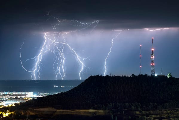
Britain is bracing for a dramatic end to weeks of scorching sunshine as the Met Office issues a yellow thunderstorm warning covering 34 areas.
The alert will come into force at 7pm on Wednesday and remain in place until 10am on Thursday, with forecasters warning that heavy showers could bring torrential rain, lightning and hail across large parts of the country.
Some areas could see 15-20mm of rain fall in just an hour, while totals of up to 30-50mm are possible over six hours. Forecasters warned that the deluge could overwhelm drainage systems, triggering localised flooding.
The Met Office said showers would become “more frequent and widespread” overnight before easing from the north-west on Thursday morning.
The Met Office said: “Heavy showers will develop this evening, becoming more frequent and widespread overnight. These are likely to bring 15 to 20 mm in an hour in some areas with as much as 30 to 50 mm falling in a period of six hours in some places.
“These accumulations may lead to a few places seeing some flooding. Alongside the rain, some showers are likely to be thundery, bringing the additional hazards of lightning and hail. The showers will ease from the northwest Thursday morning.”
The sudden change will come as a sharp contrast to the heat and sunshine that have dominated Britain in recent weeks.
⚠️ Yellow weather warning issued ⚠️
Thunderstorms in northern areas of England and Wales
Wednesday 19:00 – Thursday 10:00
Latest info 👉 https://t.co/TfU9Ok8qZD
Stay #WeatherAware⚠️ pic.twitter.com/OrRKYaiZOJ
— Met Office (@metoffice) August 19, 2026
Millions of people in affected areas have been warned to expect disruption, including possible short-term power cuts and damage to buildings from lightning strikes. Homes and businesses could be hit by flooding, while motorists face hazardous conditions caused by standing water, spray and hail.
Rail passengers have also been warned that services could face delays.
The Met Office said Thursday would bring a mixture of sunshine and showers, with the heaviest rainfall shifting southwards into England and Wales. Thunderstorms remain possible, while a northerly breeze will make conditions feel markedly cooler.
The abrupt shift highlights the volatility of Britain’s summer weather, with prolonged heat and drought giving way to intense bursts of rainfall.
For communities already affected by dry conditions, however, the arrival of rain may offer little immediate relief if large volumes fall in short, violent bursts.
Forecasters are urging the public to remain alert as the weather turns from heatwave to storm.


Leave a Comment