
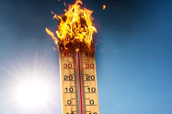
Temperatures are expected to climb into the mid-30s across parts of the UK this week as hot, settled conditions continue, with many areas experiencing their third heatwave of the year.
Amber and yellow heat health alerts have been issued by the UK Health Security Agency, meaning significant impacts are likely across health and social care services due to the high temperatures.
High pressure remains the dominant feature through the rest of this week, bringing extensive sunshine, dry weather and temperatures widely above 30°C. The hottest conditions are expected on Thursday and Friday, when some locations in England could reach 35 or 36°C.
While the heat will gradually ease across southern and eastern parts of the UK during the weekend and into next week, very warm weather is set to continue as the focus of the highest temperatures shifts towards the southwest.
Deputy Chief Forecaster Tom Crabtree said: “Many people will understandably want to know how long the current heatwave is likely to last. While temperatures are expected to ease across southeast England through the weekend and into next week, it won’t be a straightforward end to the warm weather.
“High pressure is expected to remain in charge through much of next week, but it will gradually migrate northwards. This means that an easterly wind will become established in the south, and the focus for the hottest conditions will migrate towards the southwest.
“As a result, some places that have seen the highest temperatures during recent weeks will begin to cool. It will however, remain very warm – especially in the southwest – and heatwave thresholds may continue to be met in places.
“The overall signal is for continued fine, dry and very warm weather at times for many parts of the UK into next week. There is however a chance of thunderstorms spreading into parts of the south and southwest.”
The highest temperatures of the current spell are expected on Thursday and Friday, when temperatures will widely exceed 30°C across England and Wales, with highs of 35°C on Thursday and potentially 36°C in some locations on Friday.
Saturday could see highs of 34°C in southwest England and 33°C on Sunday, before a gradual trend down.
In Scotland and Northern Ireland, 27/28°C is possible on Friday, with values into the mid-20s 20s Celsius over the weekend.
Despite the heat, humidity levels are expected to be lower than during the late June heatwave, allowing some areas to cool more readily overnight. However, some towns and cities may still experience very warm nights, which can make sleeping uncomfortable.
The dominant area of high pressure will keep conditions largely dry across much of the UK through the coming days.
While a few isolated showers or thunderstorms cannot be ruled out from Friday onwards, particularly in western areas, confidence in the timing and location of any thunderstorms remains low. Most places are expected to remain dry with lengthy sunny spells.
As the high-pressure system shifts north during the weekend, easterly winds will become more noticeable, particularly around southern and eastern coasts, where it will feel somewhat fresher than recently.
The warm and dry conditions, with increasing winds for some, is increasing the wildfire risk in some areas.


Leave a Comment