
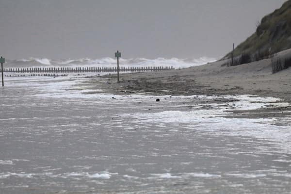
The Met Office has warned of flying debris, power cuts, damaged buildings and travel chaos as the storm sweeps across northern England, Scotland and parts of Northern Ireland, with exposed coasts facing gusts of up to 80mph.
Britain is bracing for a dangerous weekend of weather as Storm Boelo threatens to batter parts of the country with winds of up to 80mph, prompting the Met Office to issue an amber warning carrying a stark “danger to life” alert.
The warning will remain in force from 9pm on Saturday until 9pm on Sunday, with widespread gusts of 60-70mph expected across affected areas and the strongest winds forecast along exposed coasts.
Forecasters have warned that flying debris could cause serious injuries or put lives at risk, while falling trees, damaged buildings, power cuts and widespread transport disruption are also possible.
The storm is expected to bring strong westerly winds to western Scotland and the north of Northern Ireland on Saturday evening before spreading eastwards overnight and through Sunday. Heavy rain and frequent showers will accompany the gusts.
The Met Office warned that large waves and dangerous coastal conditions could add to the risks, while roads and bridges may be closed as conditions deteriorate.
“Driving in these conditions can be dangerous,” the weather service said, advising motorists who must travel to slow down to reduce the impact of sudden gusts.
It also urged people to avoid unnecessary time outdoors during the worst of the weather.
“Being outside in high winds makes you more vulnerable to injury. Stay indoors as much as possible,” the Met Office said.
“If you do go out, try not to walk, or shelter, close to buildings and trees.”
The amber alert reflects a high likelihood of severe weather impacts, estimated at 50-75 per cent, combined with the potential for significant disruption and danger.
In England, Northumberland and Cumbria are among the areas covered by the warning.
Across Scotland, the affected regions span much of the country, including Angus, Dundee, Fife, Perth and Kinross, Stirling and surrounding areas. Aberdeen, Aberdeenshire and Moray are also included, alongside Highland and Na h-Eileanan Siar.
Further south and west, the warning covers Argyll and Bute, Glasgow and several surrounding council areas, as well as Dumfries and Galloway, Edinburgh, the Lothians and the Scottish Borders.
In Northern Ireland, County Antrim and County Londonderry could also experience the severe conditions.
Storm Boelo, Britain’s second named storm of the year, was announced by the Met Office on Friday.
Deputy chief forecaster Chris Bulmer warned that the storm would strike the opposite end of the country from Storm Austen, with the two weather systems combining to make for an “impactful weekend of weather” across Britain.
With the strongest gusts expected in exposed locations, forecasters are warning that conditions could change quickly and that even relatively short journeys may become hazardous.
People in affected areas are advised to secure loose outdoor objects, keep away from vulnerable trees and buildings, check travel information before setting out and follow official weather updates.
The central message from forecasters is clear: with flying debris, falling trees and dangerous coastal conditions possible, residents should take the amber warning seriously and avoid unnecessary exposure while the storm passes.


Leave a Comment