
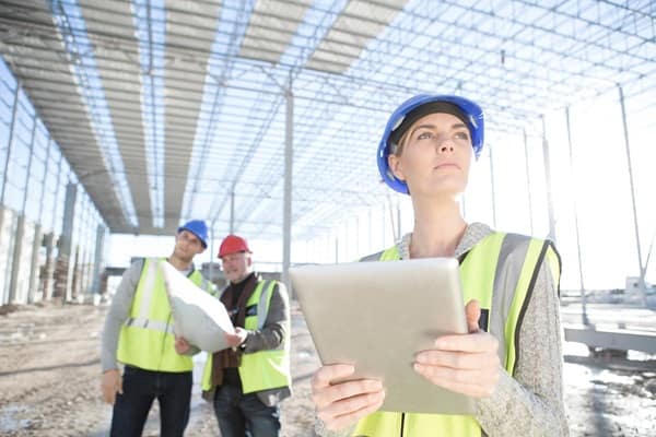
Good planning has always depended on good information, but the level of detail available to project teams has changed dramatically. Whether the work involves construction, infrastructure, surveying, utilities or environmental management, accurate spatial data can now give teams a much clearer picture of a site before major decisions are made. Providers such as LiDAR Solutions are part of that shift, helping turn physical environments into detailed datasets that can support more informed planning and reduce the amount of guesswork involved.
Seeing the site before work begins
Traditional site inspections are still valuable, but they only show so much. Large, complex or difficult-to-access areas can be hard to assess thoroughly on foot, and small changes in elevation or surface conditions may be easy to miss.
Detailed spatial data gives project teams another layer of visibility. It can help map terrain, structures, vegetation and other physical features with a level of precision that would be difficult to achieve through manual observation alone. That information can then support everything from early feasibility studies to detailed design work.
The benefit is simple: the more clearly a team understands the site at the beginning, the fewer surprises are likely to appear later.
Better data can improve design decisions
Design decisions are often shaped by the constraints of the site. Slopes, access points, existing structures, drainage patterns and surrounding infrastructure can all influence what’s practical.
When those conditions are mapped accurately, designers can work with the real environment rather than relying heavily on assumptions. That can make it easier to test options, identify potential clashes and refine plans before construction begins.
In some projects, this can also reduce the need for repeated site visits because the spatial information is already available digitally for different team members to review.
It can help reduce rework
Rework is one of the most expensive frustrations in any project. A design may need to change because measurements were inaccurate, existing infrastructure wasn’t properly recorded or site conditions turned out to be different from what was expected.
Better spatial data doesn’t eliminate every risk, but it can reduce some of those avoidable mistakes. When teams are working from a more accurate representation of the site, there’s less chance of designing around information that later proves to be wrong.
That can save time during both the design and construction phases, particularly on projects where small dimensional errors can create larger downstream problems.
Complex sites become easier to understand
Some sites are difficult to document using conventional methods. Dense vegetation, steep terrain, industrial environments or large infrastructure corridors can all complicate surveying and inspection.
Detailed scanning technologies can help create a broader view of those environments, making patterns and relationships easier to interpret. Instead of relying only on isolated measurements, teams can work with a more complete spatial model.
That broader context can be useful when planning access, identifying hazards or assessing how one part of the site interacts with another.
Collaboration becomes more straightforward
Modern projects often involve multiple disciplines working at the same time. Engineers, architects, surveyors, planners, contractors and asset managers may all need access to the same site information.
When that information is captured and organised clearly, collaboration becomes easier. Different teams can reference the same underlying data rather than maintaining separate versions of what the site looks like.
That consistency can reduce confusion and make discussions more productive, particularly when project teams are spread across different offices or locations.
Spatial data has value beyond construction
The usefulness of accurate site data doesn’t necessarily end once a project is built. The information can continue supporting maintenance, asset management, future upgrades and condition monitoring.
For infrastructure and facilities, having a reliable digital record can make later work much easier. Teams may be able to compare conditions over time, plan maintenance more efficiently or assess how an asset has changed since the original capture.
That long-term value makes spatial data more than just a design tool. It can become part of the ongoing information base for the asset itself.
Better information supports better decisions
Most project problems don’t come from a lack of effort. They come from decisions being made with incomplete or inaccurate information.
Improved spatial data gives project teams a stronger foundation. It can help them understand the site earlier, test ideas more confidently and reduce the risk of discovering important constraints too late.
As projects become more complex and expectations around efficiency continue to rise, that kind of clarity is increasingly valuable. The technology itself may be sophisticated, but the underlying benefit is straightforward: better information makes it easier to plan well.


Leave a Comment