
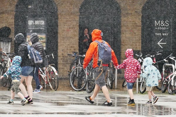
Britain is bracing for a dramatic weather swing as torrential downpours sweep across parts of the country on Friday before temperatures surge again in what could become another late-summer heat spike, forecasters have warned.
The latest outlook from the Met Office shows a highly unsettled end to the week, with heavy rain, gusty showers and sudden bursts of intense precipitation expected to hit multiple regions — followed quickly by a return to warm, potentially very hot conditions.
Friday evening is set to bring the worst of the wet weather, with showers intensifying from around 9:30pm in parts of North West England and Scotland, the Mirror reported.
Weather maps indicate some areas could see up to 16mm of rain in a short space of time, raising the risk of localised surface water flooding and difficult driving conditions.
Forecasters say the pattern is typical of a “changeable” British summer, with rain bands sweeping in from the Atlantic bringing short-lived but heavy bursts of rainfall.
Despite the wet start, conditions are expected to improve rapidly as high pressure builds in from the Azores, pushing warmer air back across the UK.
This weather system is forecast to stabilise conditions through the weekend, allowing temperatures to climb significantly once again.
Some southern regions could see highs approaching 30C, while much of England is expected to sit in the high 20s. Wales is also likely to experience warm conditions in the mid-to-high 20s.
Meteorologists say there is an increasing chance that parts of the UK could meet official heatwave criteria early next week, depending on how the high-pressure system develops.
However, experts caution that this potential hot spell may not match the intensity of recent extremes, with lower humidity levels and less widespread extreme heat currently expected.
Tony Wisson, Deputy Chief Forecaster at the Met Office, said conditions are becoming more unsettled overall, with northern and western areas seeing the bulk of rainfall while southern parts remain more settled and increasingly warm.
The outlook highlights a familiar summer pattern: brief but heavy rainfall events followed by rapid warming as pressure systems shift across the Atlantic.
For now, Britain is set to experience both ends of the weather spectrum within just a few days — from downpours and grey skies to sunshine and potentially soaring temperatures.
Residents are advised to keep an eye on updated forecasts as the situation evolves, particularly those in areas expecting the heaviest rain or highest heat later in the weekend.


Leave a Comment