
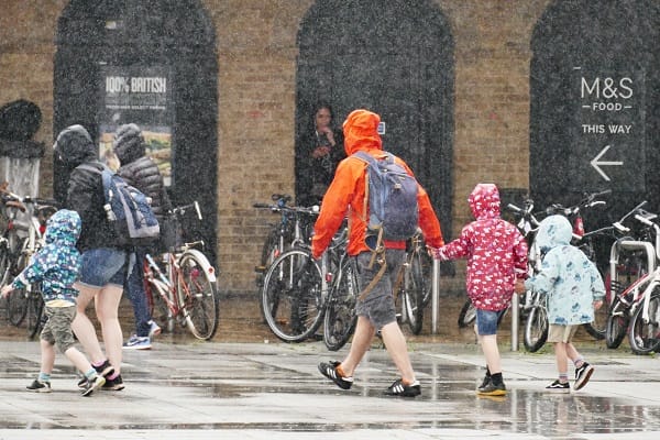
The Met Office has warned that 39 areas across Britain could face disruption, including possible power cuts, as thunderstorms sweep across large parts of England and Wales following record-breaking May heat.
A yellow thunderstorm warning has been issued covering London, Southeast England, Southwest England, Wales and the West Midlands, with forecasters warning of torrential rain, lightning strikes, hail and strong gusty winds.
The warning came into force at 3 pm on Wednesday and remains in place until 11 pm, with meteorologists cautioning that some areas could experience “short-term loss of power and other services”.
The storm threat follows what is believed to be the hottest May Day ever recorded in the UK, after temperatures climbed to 34.8 °C at Kew Gardens earlier this week.
In a statement issued on Wednesday afternoon, the Met Office said thunderstorms were expected to develop after another spell of intense heat, particularly across parts of Wales and western and south-western England.
Forecasters warned that while many areas may avoid the worst of the conditions, places directly hit by storms could see sudden downpours, frequent lightning and dangerous travelling conditions.
The Met Office said: “After another hot day, thunderstorms are expected to develop across parts of Wales as well as some western and southwestern parts of England during this afternoon and through the evening.
“While many places will miss the worst conditions, where thunderstorms do occur, they bring the potential for torrential downpours of rain, frequent lightning, large hail and strong, gusty winds.”
Weather officials use a three-tier warning system based on both the severity of the expected conditions and the likelihood of disruption occurring.
The latest alert comes after days of unusually high temperatures across Britain, with forecasters warning that rapid changes from extreme heat to violent thunderstorms can increase the risk of flash flooding, transport disruption and localised power outages.


Leave a Comment