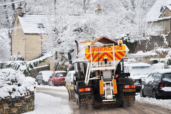
The Met Office has placed the UK on alert as multiple weather warnings for snow, ice and freezing temperatures are set to hit this weekend.
The Met Office are warning people that there could be “some injuries from slips and falls on icy surfaces” and there will probably some icy patches on some untreated roads, pavements and cycle paths.
There is a chance that road, air and rail services could be disrupted or delayed due to the icy surfaces and snow.
On Sunday there could be a band of “rain, sleet and snow” and then conditions will turn milder from the west.
Forecasters have also said that there is a good chance some rural communities could become cut off, while power cuts are likely and mobile phone coverage, could be affected.
Read more related news:
UK to be hit with bone chilling -17C Polar blast with a ‘band of snow to sweep the country’ this weekend
Expert warns of increasing home delivery delays as snow adds to strike woes
Millions of households could be paying an extra £28 a week on heating as the UK freezes in sub-zero conditions
The Met Office said, “Widespread frozen surfaces ahead of a band of rain, sleet and snow, pushing northeast across the UK though Sunday, leads to a risk of icy conditions through the morning and early afternoon, before conditions turning much milder from the west.
“Any sleet or snow, at least to low levels, will likely only last an hour or two, before turning readily to rain, but this still onto frozen surfaces for a time.
“Temporary accumulations of 1-2cm to lower levels, and perhaps locally 3-5cm across the Welsh mountains, with any snow starting to melt readily from late morning.
“As this will melt rapidly, snowmelt may briefly add to the ice risk. In addition to the ice and snow risk, strong winds are expected, mainly over higher ground.”
Exacta Weather’s James Madden said, “The models are starting to grow in confidence for another bout of more widespread snow just around the corner.
“There is much more snow in the forecast for the remainder of December, with any mild blips likely to be temporary.
“The widespread snowfall could come as early as this weekend, or even earlier, and if these models firm up, parts of the country could see heavy snow by the end of the week.”


Leave a Comment