A forecaster has warned that Storm Herminia will bring “heavy rain and gales” and snow will fall from the South West on Sunday and on Monday.
Sky News meteorologist Dr Chris England has said it will not be as windy as Storm Eowyn which was “probably the strongest” to hit the UK in at least ten years.
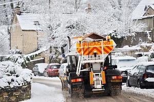
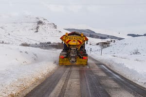
He said, “The Spanish-named Storm Herminia will bring heavy rain, gales and hill snow up from the South West on Sunday and on Monday.
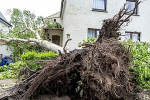
“It won’t be as windy as Friday, but with trees and structures already damaged in places, there’s a greater risk than normal with a storm of this intensity.”
Storm Eowyn caused a lot of damage and as a result there will be more risk than normal as Storm Herminia hits the UK.
Met Office meteorologist Jonathan Vautrey said, “Obviously places maybe currently have a bit of a lower threshold for wind strengths at this stage, following all the disruption and damage that’s been put in place.
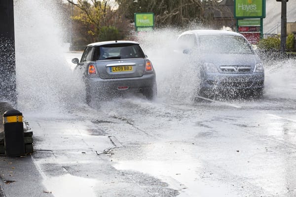
“It is something that people certainly need to be wary of, and still taking care of, as we head into Sunday and into the start of the new working week as well – the risk of localised flooding, further flying debris and travel disruption is possible as a result of all of this.”
There is a yellow wind warning in place for South East England, South West England, Wales, North West England, southwest Scotland and Northern Ireland from 8am until 3pm on Sunday.
The Met Office said, “Winds are likely to gust 50 to 60mph quite widely, and around some exposed coasts and hills, gusts to 70mph are possible.”
On Sunday morning 82moh gusts was recorded in Predannack, south Cornwall.
Met Office meteorologist Tom Morgan said, “It’s also going to be wet and windy over the next few days in southern parts of the UK in particular.
“In most parts of the UK we’re going to have some very wet and at times also very windy weather over today and Monday.
“But from Tuesday onwards, I’m expecting it generally to stay fairly changeable, but some showers at times and quite windy, but not as disruptive as it has been – I think overall, probably warnings are less likely from Tuesday onwards.
“Certainly tonight in the south east of the UK, we could see some briefly very strong winds, and we could also see some very strong winds across Cornwall and Devon tomorrow in particular.”
Ben Lukey, a flood duty manager at the Environment Agency, said: “Spells of heavy rain mean surface water and river flooding is possible across parts of England on Sunday, overnight into Monday.
“Although not expected, impacts could include localised flooding from watercourses, drains, channels and flooding from overland flow.
“The risk of coastal flooding remains very low. However, we urge people to stay away from exposed areas on beaches, promenades, coastal footpaths and roads where large waves and sea spray could be dangerous.”

Leave a Comment