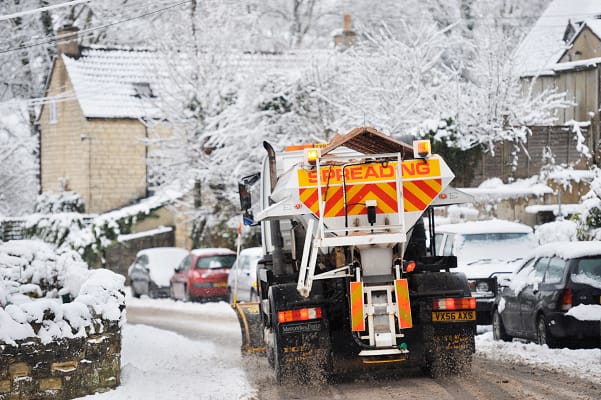
The Met Office has issued a yellow weather warning for snow which could become “potentially impactful.”
The mercury will fall below average for this time of year and the UK will be largely dry and a cold Arctic air will push through this week bringing ice.
On Thursday snow will hit parts of the UK and a yellow weather warning is in place for Central England, the north, Wales and Northern Ireland.
Met Office Deputy Chief Meteorologist Chris Almond said, “There’s an increased signal for wintry hazards as we move through the week as cold air from the north moves over the UK.
“It’s from Thursday that the snow risk becomes potentially impactful, as mild air attempts to move back in from the south, bumping into the cold air and increasing the chance of snow where the two systems meet.
“While there are still lots of details to work out, the initial snow risk looks highest in northern England and Wales from Thursday.
“1-2cm is possible to low levels, with 10-20cm possible over the highest ground within the warning area.
“This snow is likely gradually change to sleet and rain later on from the south.”
Amy Shaw, National Network Manager at National Highways, said, “Freezing conditions bring hazards such as snow and ice, so take every possible step to understand your journey in advance and allow lots of extra time when travelling to prepare for the unexpected.
“It is therefore always important to plan ahead for your journey, check the weather forecasts, and if weather conditions become challenging, adjust your driving behaviour and take extra care.”


Leave a Comment