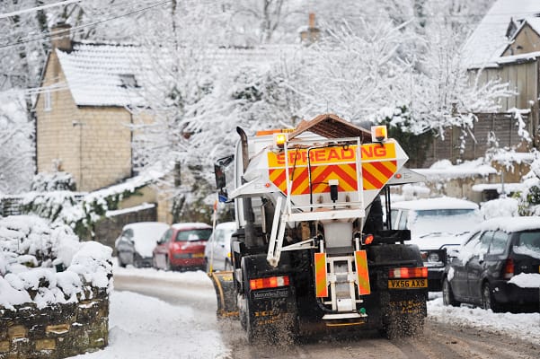
The Met Office has issued snow weather warnings which are in place from Sunday until Tuesday and there is a small possibility of power cuts.
The snow warning is in place for southern Scotland, north-east England, Yorkshire and parts of north-west England.
Snow is forecast from 10am on Monday until 10am on Tuesday and there is a chance of up to 20cm on higher ground with possibly 10cm on lower levels.
Another snow and ice warning is in place for northern Scotland from 4pm on Sunday until 11 am on Monday morning.
Met Office’s website says, “During Sunday, showers will turn increasingly wintry through the day with hail, sleet and some snow. Little snow is likely to settle at low levels by day, but through the evening and overnight, 1 to 3 cm may accumulate in some places, whilst 5 to 10 cm is possible on high ground above 300 metres by Monday morning. Meanwhile, as temperatures fall overnight, ice is likely to form on untreated surfaces.”
Met Office Deputy Chief Meteorologist Rebekah Hicks said: “A notable early winter cold spell will arrive across the north from Sunday and will likely reach all parts of the UK by midweek. Temperatures will drop as a northerly airflow develops, bringing in colder Arctic air. This introduces the possibility of snow, initially over high ground in the north from Sunday, with gusty winds also a potential hazard.”
She added: “There is a lot of uncertainty in what might happen after Sunday, but there are a number of scenarios which could bring some more widespread rain, along with some hill snow and stronger winds.
“It is possible that there may be some more widespread snowfall across lower ground, but the chance of this for any given region is low at this stage.
“What we do know is that the whole of the UK is likely to experience a spell of several days of cold, potentially disruptive weather next week. Warnings for wintry hazards, including snow and ice, are possible, so it’s important to stay up to date with the latest forecast.”


Leave a Comment