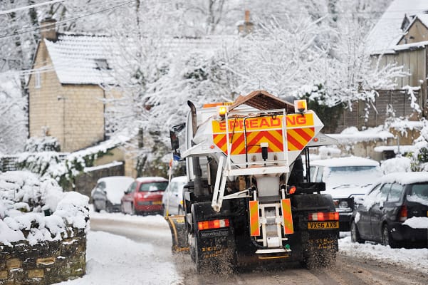
The Met Office has issued a yellow snow alert in parts of south-east England which in place overnight until 8am on Monday morning.
There is another alert which will last for four days until 10am on Wednesday for snow and ice in northern Scotland which starts at 2pm on Sunday.
In northern England, parts of Wales and Northern Ireland there is a third ice alert from 6pm on Sunday until 10am on Monday morning.
The Environment Agency has issued 95 flood warning, with 173 flood alerts for England and wet and cold conditions will remain throughout the week.
The Met Office said, “A few centimetres of snow are likely at low levels over a given 24-hour period, with the potential for 10-15cm above 200 metres, especially across parts of the Highlands.
“Ice will be additional hazard, especially Tuesday night.”
The forecaster added, “By Sunday most of the UK will be in the northerly airflow, with lower temperatures spreading further south overnight.
“Showers will fall increasingly as sleet and snow in the north, even to lower levels. Some showers further South and West, and perhaps a more persistent spell of rain overnight into Monday, could also turn to sleet and snow mainly over high ground such as the Brecon Beacons, Exmoor and Dartmoor.
“Overnight frost will become more widespread by Monday night, with overnight temperatures below 0C across much of the UK.
“Temperatures could get down to -10C in sheltered glens, or across high ground areas of Scotland where there is lying snow.”


Leave a Comment