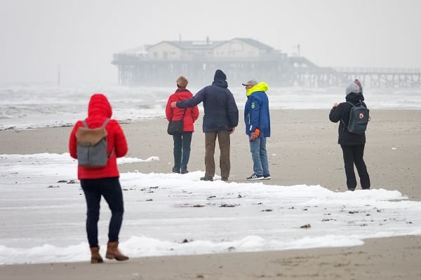
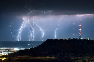
The Met Office has issued a yellow weather warning and have told Brits to expect power cuts as Storm Corrie gains momentum.
The Met Office has warned of strong winds in parts of the UK and transport services could be affected.
The yellow warnings are mainly in force for Scotland, including Highlands & Eilean Siar; Grampian, Central; Tayside & Fife; and Orkney & Shetland.
The Met Office said, “Strong northwesterly winds are expected to develop across northern Scotland early on Tuesday morning, persisting through the day.
“Gusts of up to 50 mph are expected, reaching as high as 55 to 65 mph across northern Sutherland, Caithness and Orkney.”
They further warned that “recently weakened trees and structures could be prone to damage” and people in coastal areas to expect “spray” and “large waves.”
The Met Office advised people to “stay indoors as much as possible” and “try not to walk or shelter close to buildings and trees.”
They advise that people should “keep away from the sheltered side of boundary walls and fences,” the warnings have also been issued for Tuesday 1 February.
The Met Office said, “Strong northwesterly winds are expected to develop across northern Scotland early on Tuesday morning, persisting through the day.
“Gusts of up to 50 mph are expected, reaching as high as 55 to 65 mph across northern Sutherland, Caithness and Orkney.”
They added, “In the wake of Storm Corrie, falling temperatures may allow a brief period of snow in a few areas, mainly on hills.
“Later in the night, clearer skies and wintry showers are expected, these most frequent for northwest and north Scotland, few and far between in eastern areas.
“These are likely to lead to ice forming on untreated surfaces, while strong northwesterly winds may lead to temporary blizzard conditions over high ground, with 1-2 cm of snow above 200 m elevation and perhaps a few cm on the highest routes.”


Leave a Comment