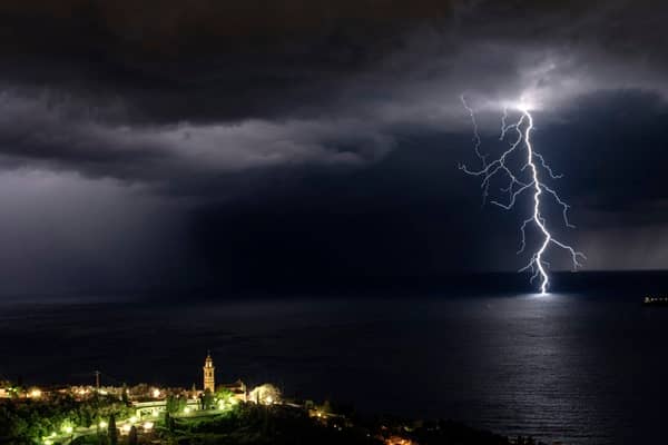
The Met Office has issued a yellow thunderstorm warnings for parts of south west England and South Wales and Northern Ireland tonight and on Thursday.
A further warning has been issued for southeastern England and East Anglia from Friday afternoon into early Saturday. These warnings come as the UK transitions into a warmer and unsettled spell of weather.
After a largely fine, dry, and sunny day for much of the UK, heavy rain and thunderstorms are expected to move into south-west England and south Wales overnight and Northern Ireland through Thursday morning, before further thunderstorms develop across parts of England and Wales during the afternoon.
Met Office Chief Meteorologist Neil Armstrong said, “A weather system will push northwards through tomorrow, bringing heavy rain and a risk of thunderstorms to parts of southwest England, most of Wales, and later into Northern Ireland. 40mm of rain could fall in 3 hours or less leading to the potential for disruption.
“Further thunderstorms will develop during the afternoon across England and Wales, moving quickly northwards with hail and lightning. Temperatures will remain high, with 26 or 27°C possible again in the north Midlands and parts of north London.”
Deputy Chief Meteorologist Tony Wisson said, “By Friday afternoon and evening, heavy and thundery showers are likely to spread across southeastern England and East Anglia, tracking north-eastwards overnight.
“There is currently some uncertainty around the exact location and intensity of the thunderstorms, but there is a risk that some areas could see 30 to 50mm of rain, with a risk of even larger accumulations possible.
“With much of the rain falling in a short space of time there is a risk of impacts such as surface water flooding.
“Frequent lightning, gusty winds and hail could pose additional hazards. Updates to this warning are expected as confidence increases on the exact location of the greatest risk of the heaviest downpours.”


Leave a Comment